Meaningful Oceanographic Data for the Nation
NOAA's Center for Operational Oceanographic Products and Services (CO-OPS) is the authoritative source for accurate, reliable, and timely tides, water levels, currents, and other coastal oceanographic and meteorological information. Our services support safe and efficient maritime commerce and transportation, help protect public health and safety, and promote robust, resilient coastal communities. CO-OPS maintains ocean observing infrastructure, including more than 200 permanent water level stations on the U.S. coasts and Great Lakes, an integrated system of real-time sensors concentrated in busy seaports, and temporary meters that collect observations for tidal current predictions. Through these systems, we provide the nation with historic and real-time data, forecasts, predictions, and scientific analyses that protect life, the economy, and the environment on the coast.
Who We Are
Oceanographers
Ensure our data are accurate and creating useful decision support tools for the nation.
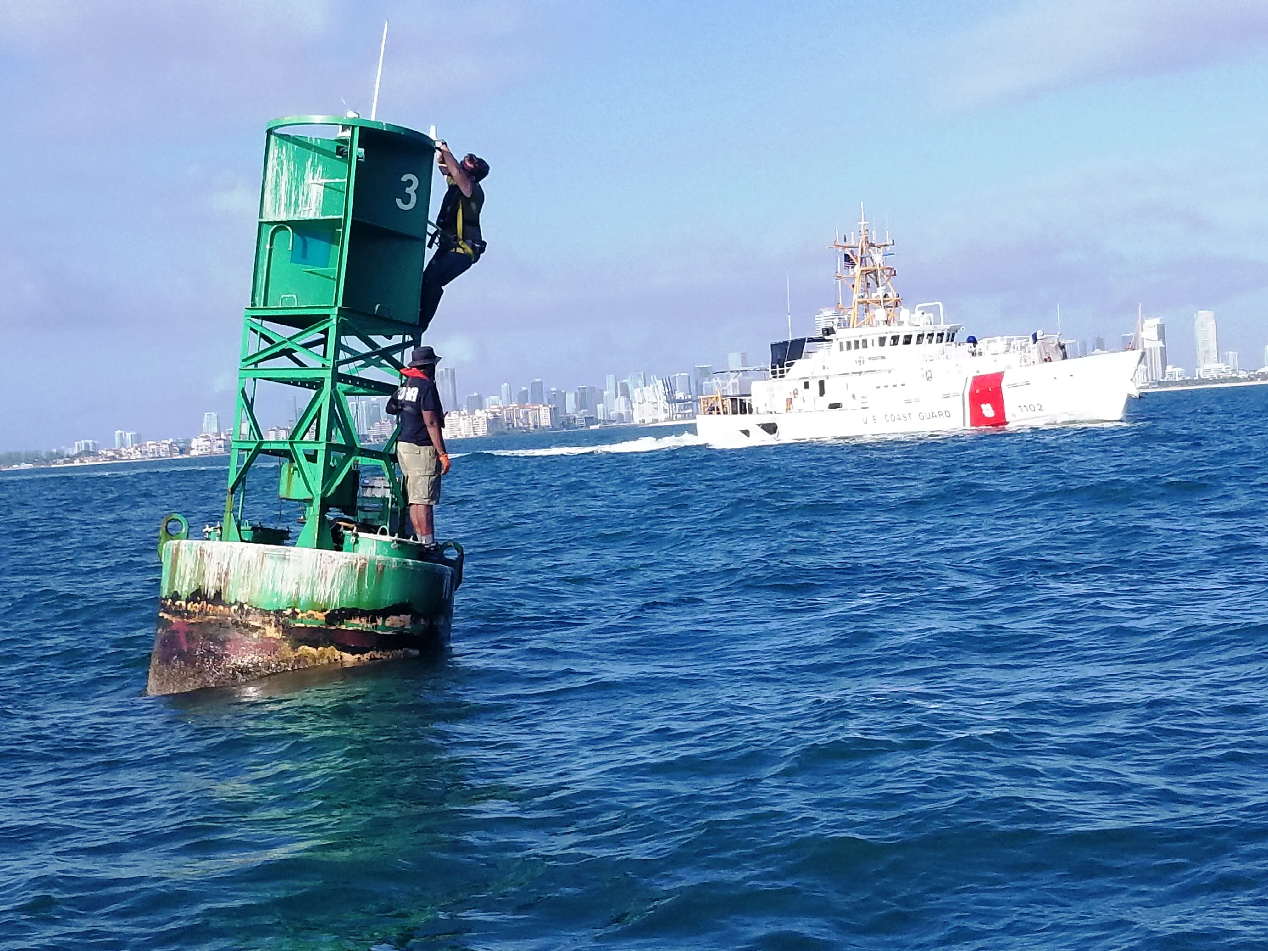
Field Technical Experts
Install and maintains observing systems up to rigorous scientific standards.
Engineers
Build more advanced oceanographic observing systems that can operate in the most challenging conditions.
Information Systems Experts
Develop high performing systems that manage and disseminate large amounts of data.
Leadership
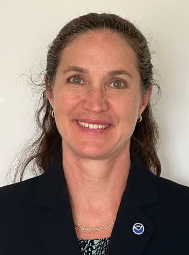
Director, Center for Operational Oceanographic Products and Services
Marian Westley, Ph.D., is the Director of the Center for Operational Oceanographic Products and Services (CO-OPS), the nation’s authoritative source for accurate, reliable, and timely water level and current measurements. In this role, she manages and advances a 24-hour operation to provide mariners, coastal managers, and other users with historic, real-time, and prediction data for ocean conditions along America's 95,000-mile coastline.
Dr. Westley has over 20 years of experience at NOAA. She joined CO-OPS in 2017 as deputy director, where she managed an annual operating budget of approximately $40.5 million and led a blended workforce of approximately 150 federal and 65 contract employees. Before transitioning to acting director, she worked to establish operational policies and guidelines and led and participated in short- and long-range strategic, tactical, and program planning.
Prior to CO-OPS, Dr. Westley was selected for the tenth cohort of NOAA's Leadership Competencies Development Program, where she completed developmental assignments as the deputy director of the Climate Program Office in the Office for Oceanic and Atmospheric Research and as the NOAA liaison to the Department of Defense’s Strategic Environmental Research and Development Program. In both assignments, she worked on the intersection between climate change and national security. more...
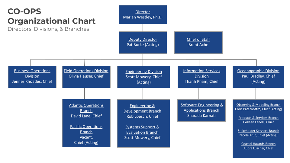
Organizational Chart
Safe and Efficient Maritime Commerce
We provide the maritime transportation industry with timely, accurate, and reliable observations they need to navigate safely and efficiently through waterways and ports.
Coastal Economies and Infrastructure
We provide coastal communities with data and tools to prepare for flooding as a result of storms, tsunamis, and sea level change.
Mapping and Charting Support
We produce and maintain datums that provide a foundation for hydrographic surveys, nautical charting, marine boundary determination, coastal engineering, and more.